PaceMost trips run three or four days from Mekele. Days are long and very hot; drink constantly, rest at midday and expect basic camps with little shade or sleep. Other plates in this section.
The Danakil Depression lies in the Afar region of north-eastern Ethiopia, where three of the Earth's tectonic plates are pulling apart. The ground here has sunk more than a hundred metres below sea level, and the land between the highland escarpment and the Red Sea coast is a basin of salt flats, lava fields and active volcanoes. Daytime temperatures are extreme for much of the year. Few places on Earth look stranger, and few are harder to visit.
Why it looks like this
The Afar triangle is one of the few places where a mid-ocean rift can be studied on dry land. As the plates separate, the crust thins and sinks, magma rises close to the surface, and the sea has flooded and evaporated from the basin many times in the past, leaving salt deposits that are hundreds of metres thick in places. The result is a landscape built from three things: salt, which forms the flat white floor of the basin; volcanic heat, which drives hot springs and lava; and the Afar people, who have lived in and around this land for centuries, herding livestock and cutting salt.
The Afar are mainly pastoralists, moving with their camels and goats between the lowlands and the foot of the escarpment as the seasons change, and they have their own language, customs and clan structures. Much of the depression is their land, and local Afar guides and elders have a say in who passes through it. Visits bring income to some villages, and they also bring dust, vehicles and cameras into places where people live, so a quiet and respectful manner goes a long way.
The region is also important to the study of human origins. Fossil sites in the wider Afar region, among them the place where the famous skeleton known as Lucy was found, lie well to the south of the depression, and she is on show in the National Museum in Addis Ababa.
Dallol
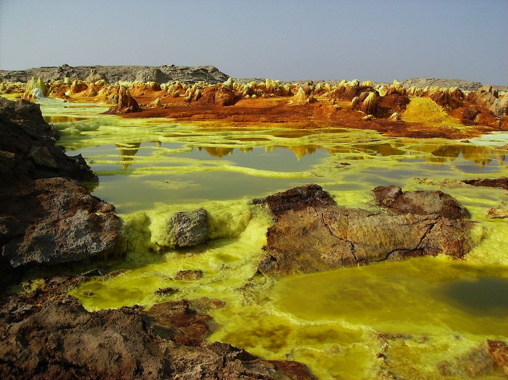
Dallol is the image most people know: a field of hot springs on a low dome in the north of the depression, where hot, acidic, mineral-rich water rises through the salt and paints the ground in bright yellow, orange, green and white. Pools bubble and steam, salt chimneys and terraces build up and collapse, and the colours change from week to week as springs shift and deposits oxidise. It is often said to be the hottest inhabited area on Earth by average year-round temperature.
The ground is fragile and the water is highly acidic. Stay on the paths your guide shows you, never step on thin crusts, and keep away from the springs themselves. The fumes can be strong, so a scarf over the face helps, and visits are made early in the morning before the heat becomes dangerous. Nearby are the salt canyons and the eroded pillars of salt and clay around the old potash mining works, abandoned for decades.
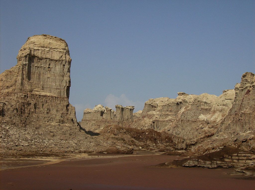
Close by is a small lake of dark, oily-looking brine, and further on a field of bubbling, salty springs that have built low cones around their vents. None of these places has paths, railings or signs in the usual sense, and the safest rule is to stay behind your local guide.
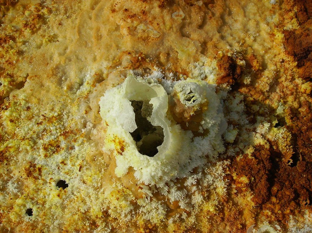
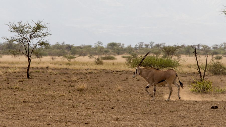 Plate 12 · AwashAwash, where the highlands drop to the plains
Lake Asale and the salt caravans
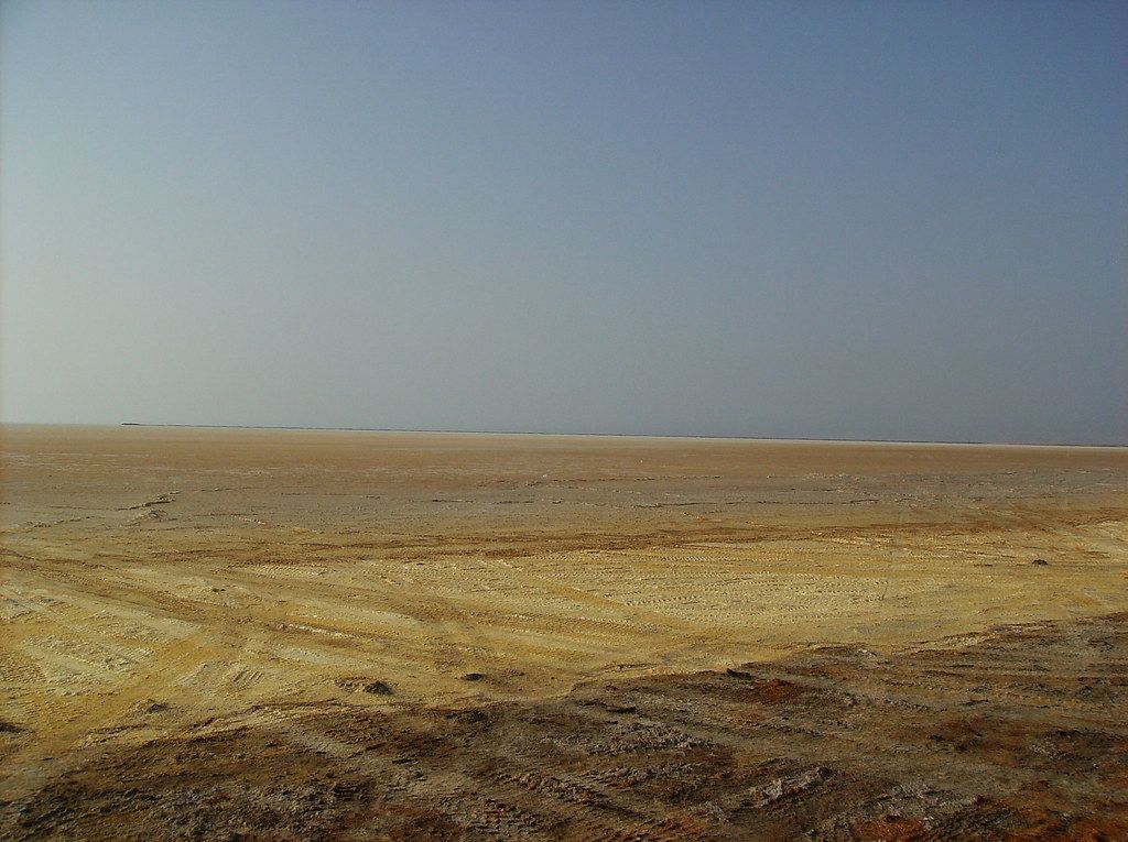
West of Dallol lies Lake Asale, also called Lake Karum, a shallow salt lake that shrinks and grows with the seasons and is surrounded by flat salt plains. Here Afar workers cut the salt crust into rectangular blocks by hand, shaping them with axes and loading them onto camels and donkeys.
The caravans then carry the blocks up the escarpment towards the highland markets, a trade that has gone on for many centuries.
The caravans then carry the blocks up the escarpment towards the highland markets, a trade that has gone on for many centuries. Trucks and new roads have changed parts of it, but camels still move across the flats in long lines.The salt workers are doing hard, hot work and are not a performance. Keep your distance, ask before you photograph anyone and accept a refusal. At sunset, when the lake has a thin layer of water over the salt, it reflects the sky, and many groups stop there in the evening.
Erta Ale
Further south rises Erta Ale, a broad shield volcano a little over 600 metres high whose name means smoking mountain in Afar. For decades it held one of the few long-lasting lava lakes in the world in a pit crater at its summit. Its activity changes: at times the lake has been high and bright, at other times it has drained, overflowed, crusted over or been hidden by fumes, and fresh flows have changed the summit area in recent years. What you will see cannot be known in advance, so ask about recent activity before you choose a trip.
The climb starts at a base camp at the foot of the volcano and is usually done in the evening, after the worst heat, over rough lava for around three hours on foot. Groups sleep on the rim in very basic shelters or in the open, visit the crater in the dark, and walk down before sunrise. Camels often carry water and bedding. You need a headtorch, sturdy shoes, plenty of water and reasonable fitness. Gases can be dangerous; follow your guide's instructions at the edge without exception.
Heat, escorts and going with a group
The Danakil is not somewhere to go alone or on a whim. Visits are made by organised group trips, usually from Mekele in Tigray, in convoys of 4x4 vehicles with drivers, a cook, a guide, and local Afar guides and police or armed escorts, as local arrangements require. Permits and fees are handled by the organiser. There have been violent attacks on visitors in the area in the past, including one near Erta Ale in 2012 in which several foreign tourists were killed.
The Afar region and the routes into it from Tigray have been affected by the conflicts of recent years, and access has been suspended at times.
Go between November and February, when temperatures are lower, though still very hot by day. In summer, daytime temperatures in the depression reach well above 45 degrees Celsius and trips become risky. Drink steadily through the day, add salts, cover your skin and head, and rest at midday. Camps and toilets are basic, nights are warm and there is little shade.
Fitting it into a trip
A Danakil trip makes a sharp contrast with the cool churches and green fields of the highlands, and because most groups start and end in Mekele, it fits naturally beside the churches of Tigray or a visit to Axum when those areas are open. The circuit notes cover how to join it to a northern route. Allow a rest day afterwards: the heat, early starts and short nights add up, and few people come back from the depression without feeling it.
Images on this page: Achilli Family | Journeys (CC BY 2.0); Achilli Family | Journeys (CC BY 2.0); Achilli Family | Journeys (CC BY 2.0); Achilli Family | Journeys (CC BY 2.0); jeanotr (CC BY 2.0).